
Case study · Conservation
Thermal Drone Wildlife Survey
A two-stage AI system on DJI drones that detects animals in thermal footage on board, then identifies each animal’s species in the cloud to count wildlife across a park.
The challenge
- A wildlife organisation wanted to survey a conservation park by drone and count the animals of each species.
- Manually spotting and identifying animals in hours of drone footage is labour-intensive and slow.
Our solution
We built a two-stage computer vision system that splits the work between the drone and the cloud.
- 01Thermal capture
The drone’s thermal camera captures images as it flies over the park.
- 02On-drone detection
An AI engine deployed on the drone through its SDK detects whether animals are present.
- 03Cloud transfer
Only images with animals are sent to a cloud server.
- 04Species identification
An AI model identifies the species of each individual animal for an accurate count.
In action
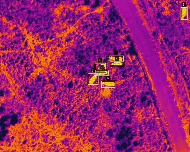
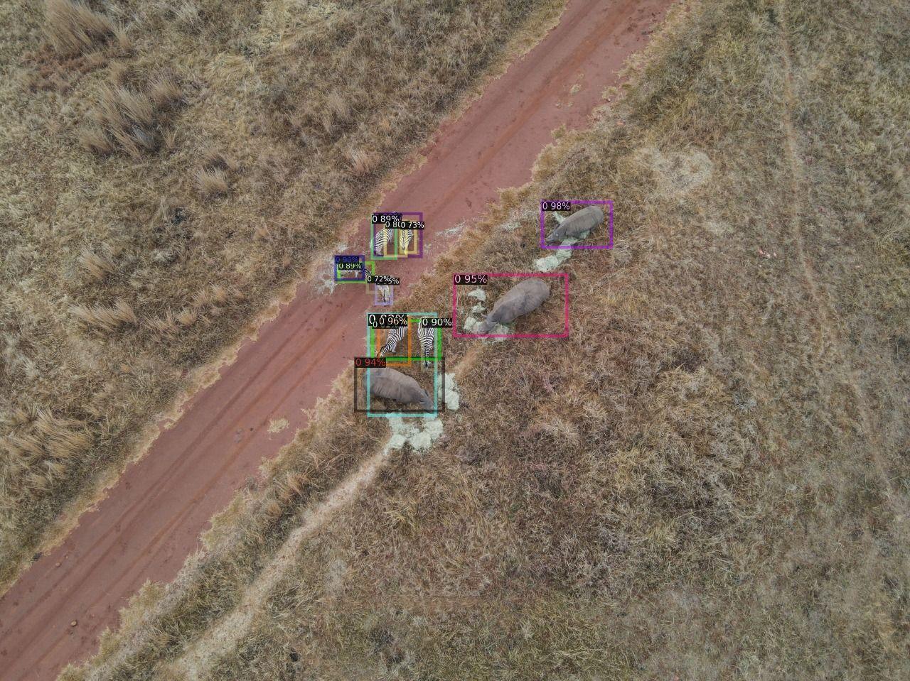
The results
- Animal surveys automated from capture to species count.
- Detection runs on the drone, so only useful images are sent for analysis.
- Frees the team from reviewing hours of drone footage by hand.
Want something similar?
Tell us about your idea and we’ll show you what AI can do for it.